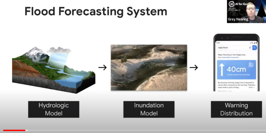
MIT researchers developed a physics-based AI method to generate realistic satellite images of future flooding, which will help communities prepare for storms. Tested in Houston, it combined generic AI with flood models to improve accuracy, avoiding fallacies common in AI-only methods. Called the Earth Intelligence Engine, it provides a hyper-local, reliable tool for decision making.


